The Northern Rivers are a natural, rare, temperate rain-forest region and basin, leading to consistent flooding every 1-3 years.
These images were taken during the floods (plural) of 2013. These floods weren't as severe as years prior.
These floods pale in comparison to what was to come in 2017 and 2022, devasting the whole region...well, from the Sunshine Coast, QLD to Sydney, NSW really.
I have left the images on my portfolio as a learning exercise and to show the natural beauty despite the destruction that was to come years later.
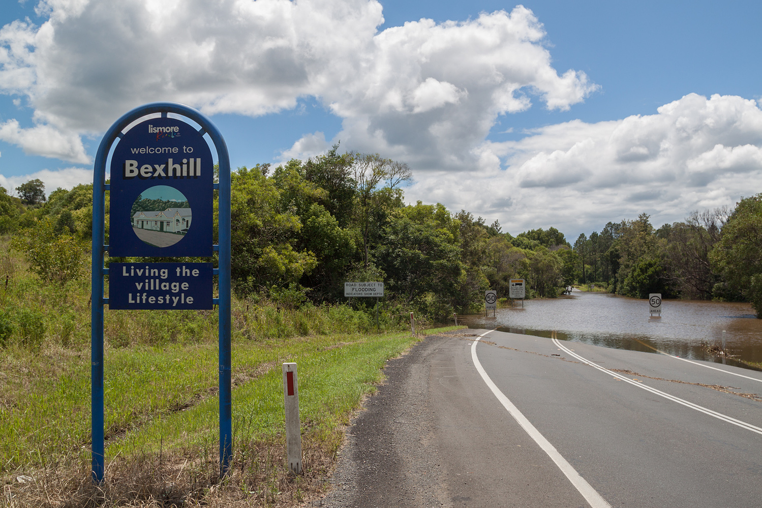
At the time of these images, I happened to have lived on one of the hills of Bexhill, giving me 360 views.

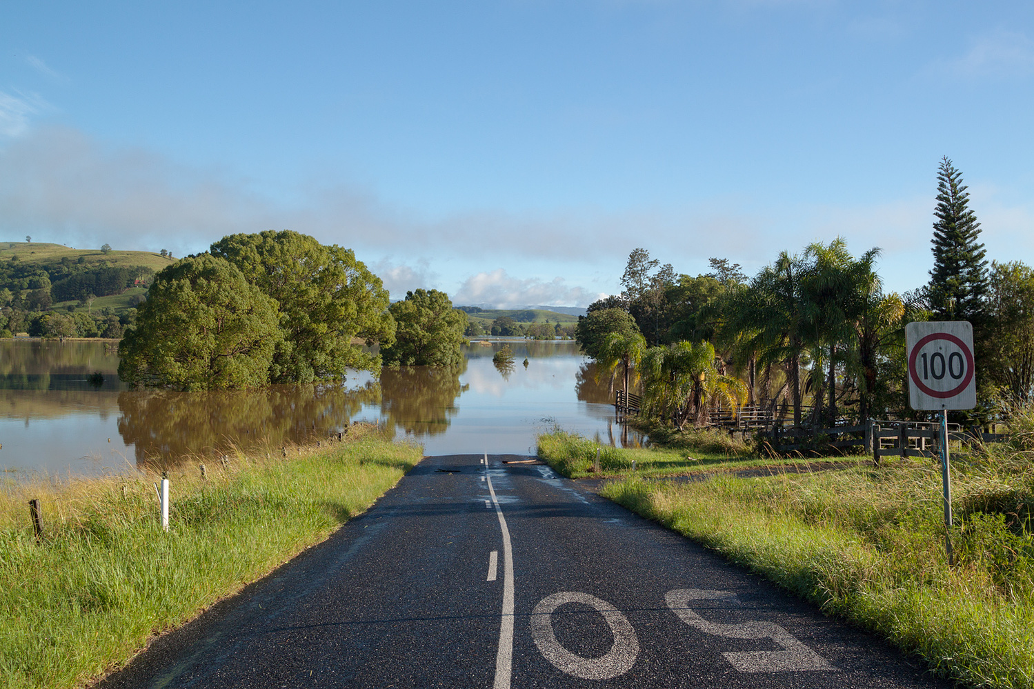
Corndale Road.
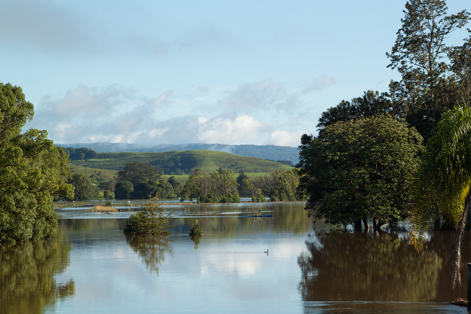
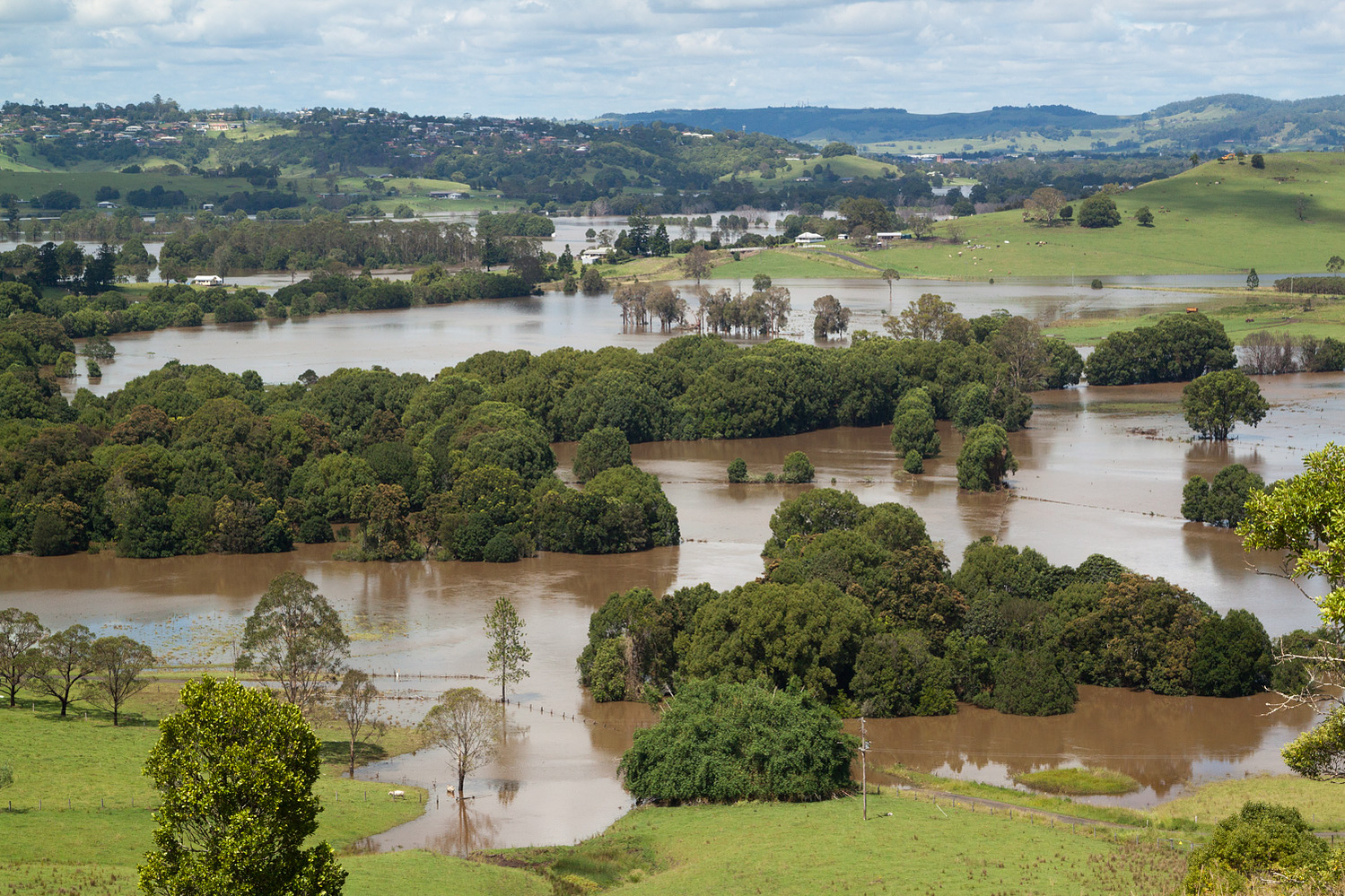
Looking towards Lismore.
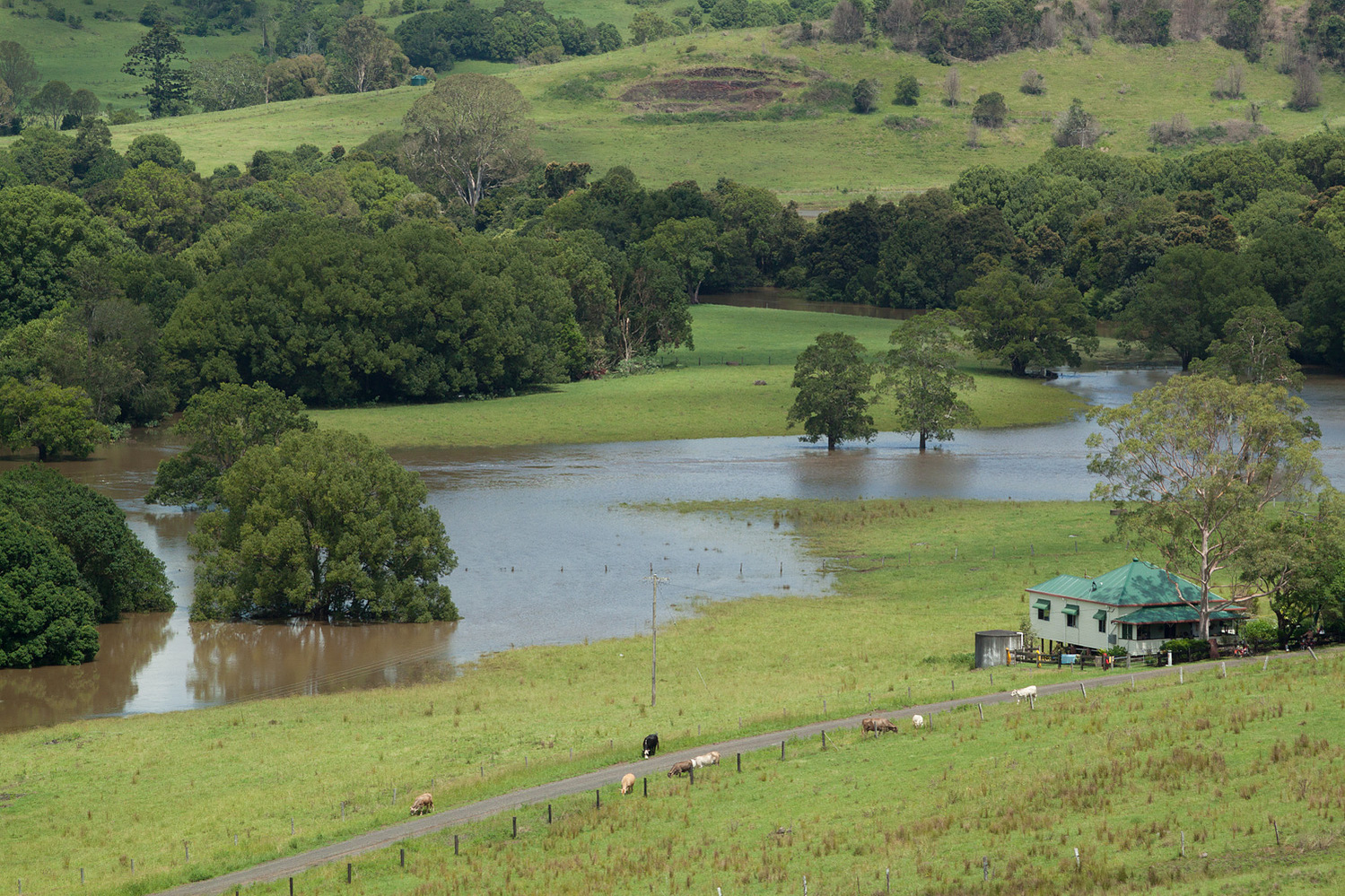
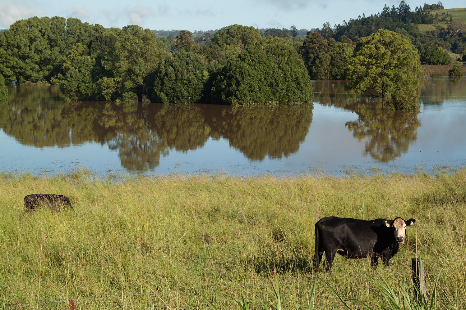
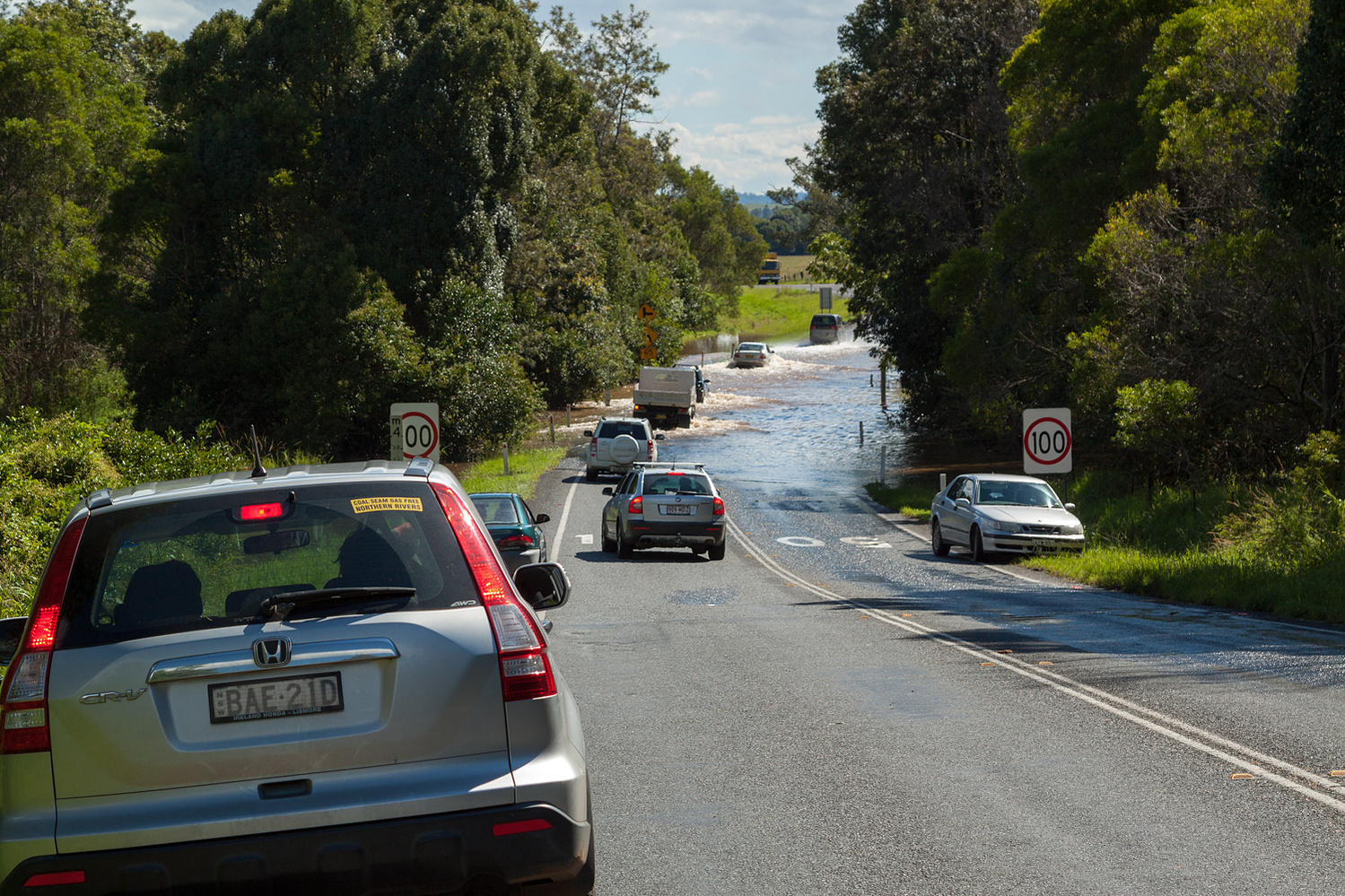
Bangalow Road.
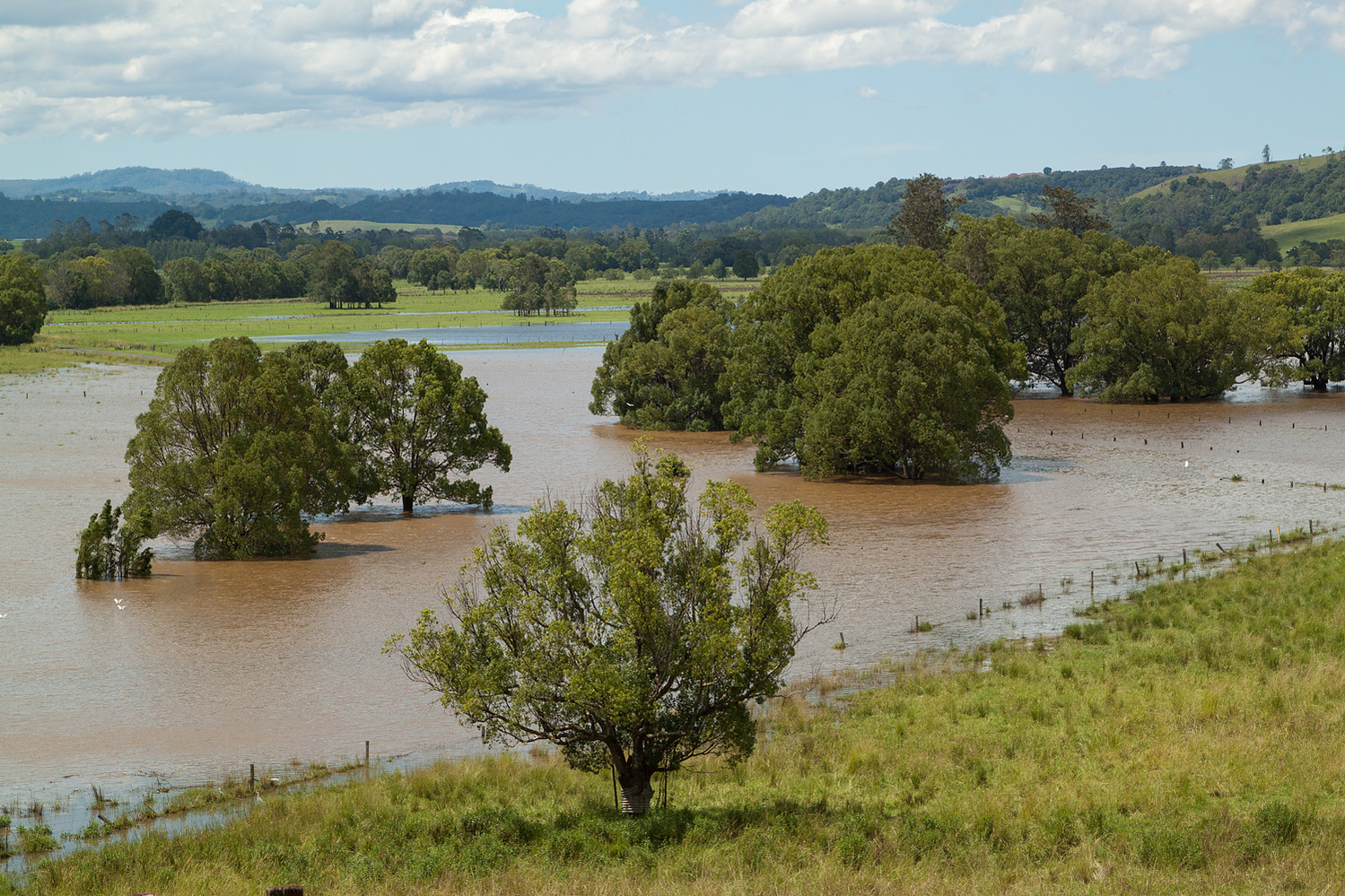
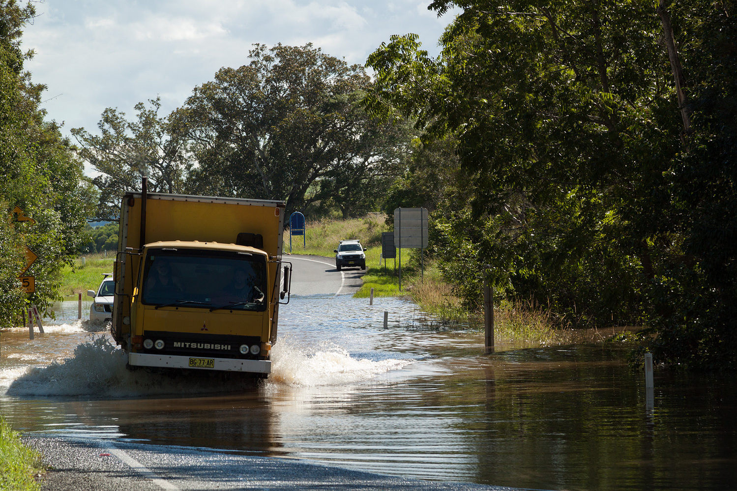
Bangalow Road.
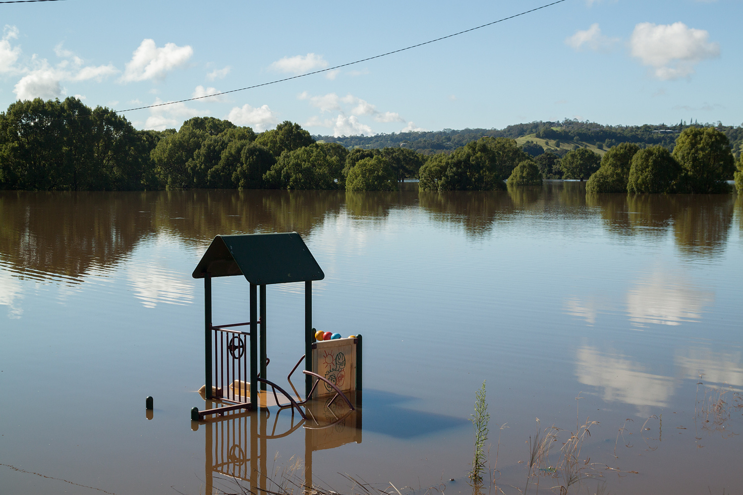
Bexhill has frequently been an almost deadly area for floods, with the waters often appearing treversable but are not. This was a not a large flood, so motorists could cross, but people have been rescued from sinking cars in past.
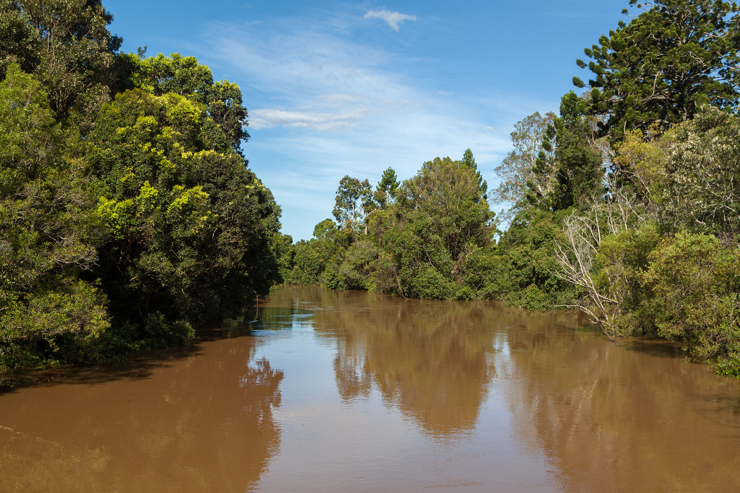
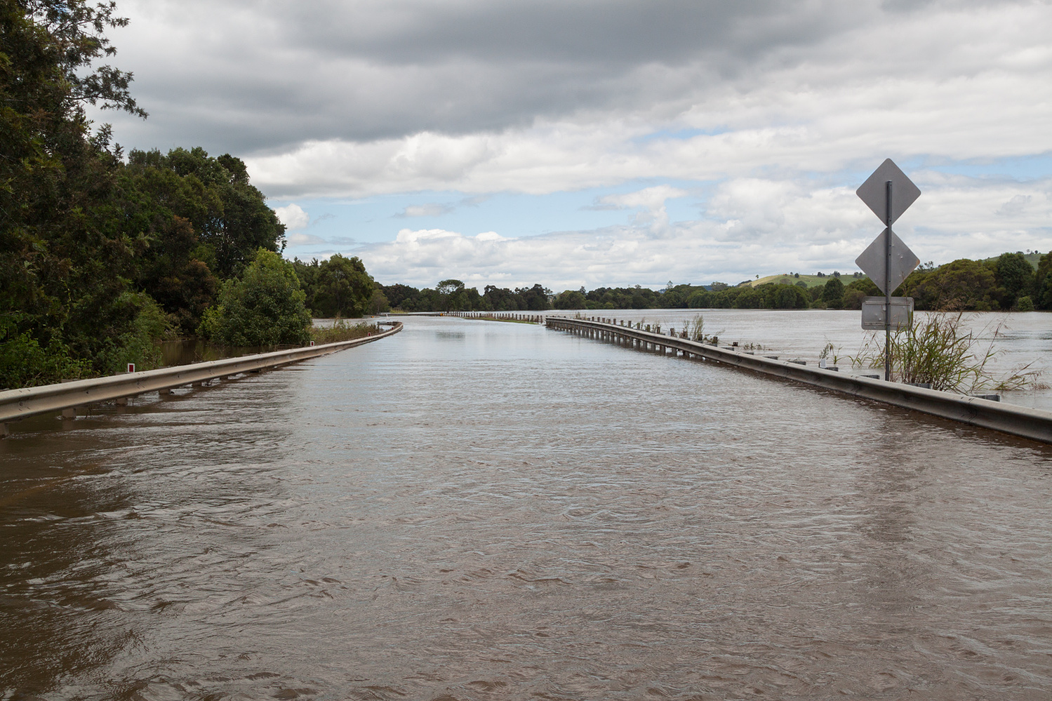
The river itself, often sitting about 10m below the bridge i was standing on.
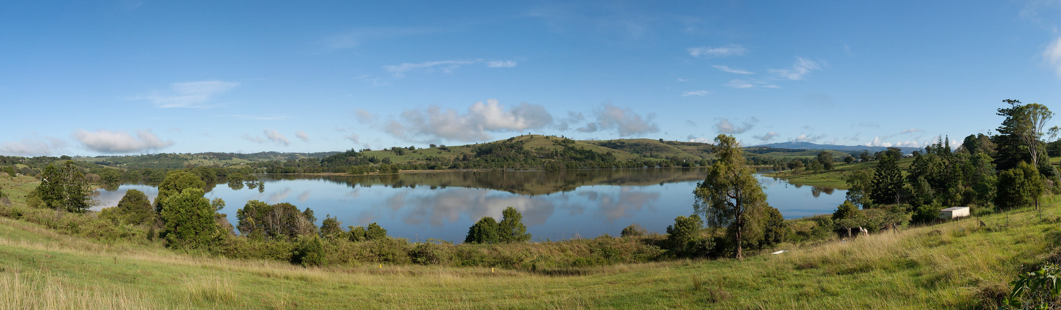
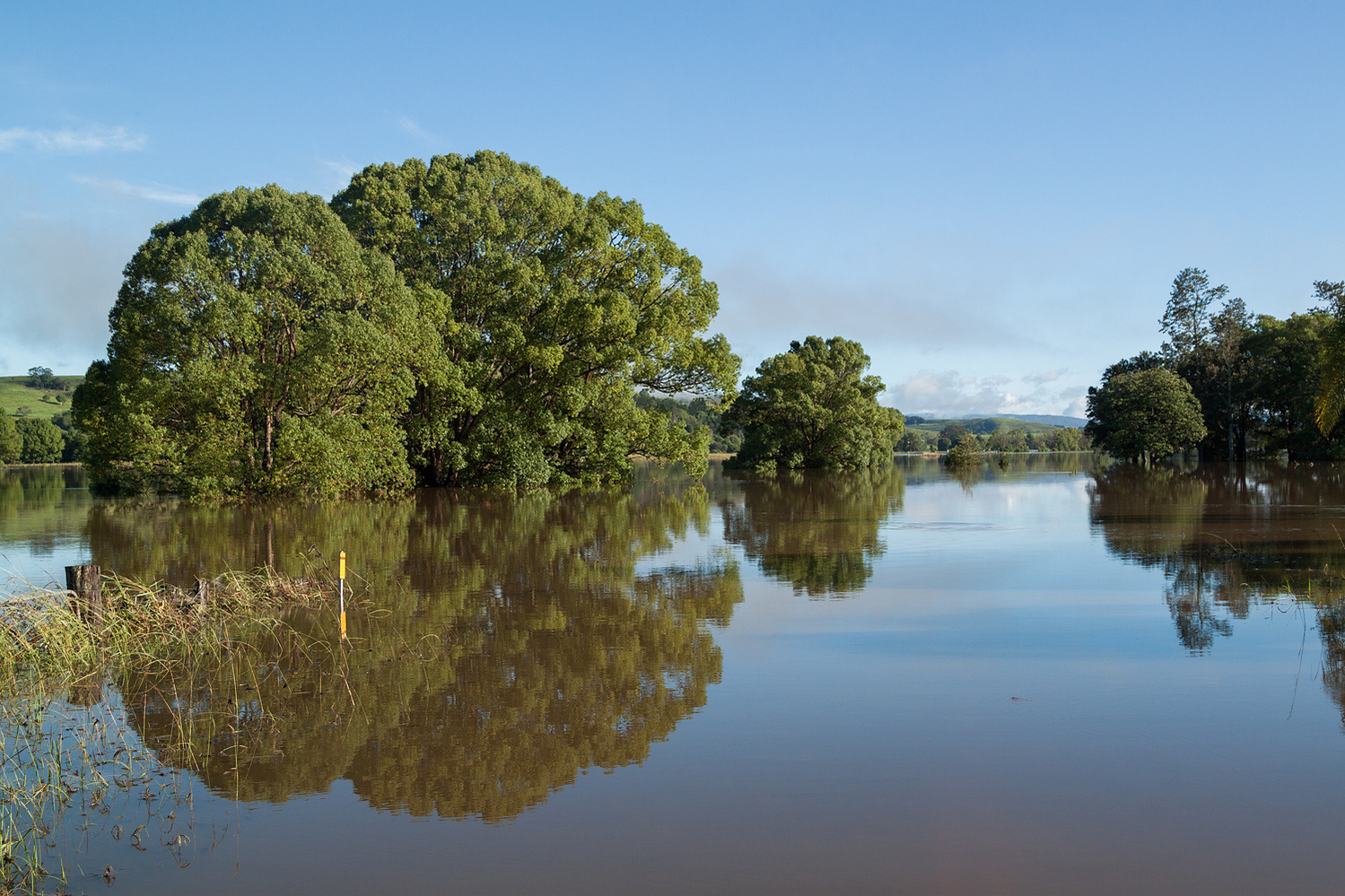
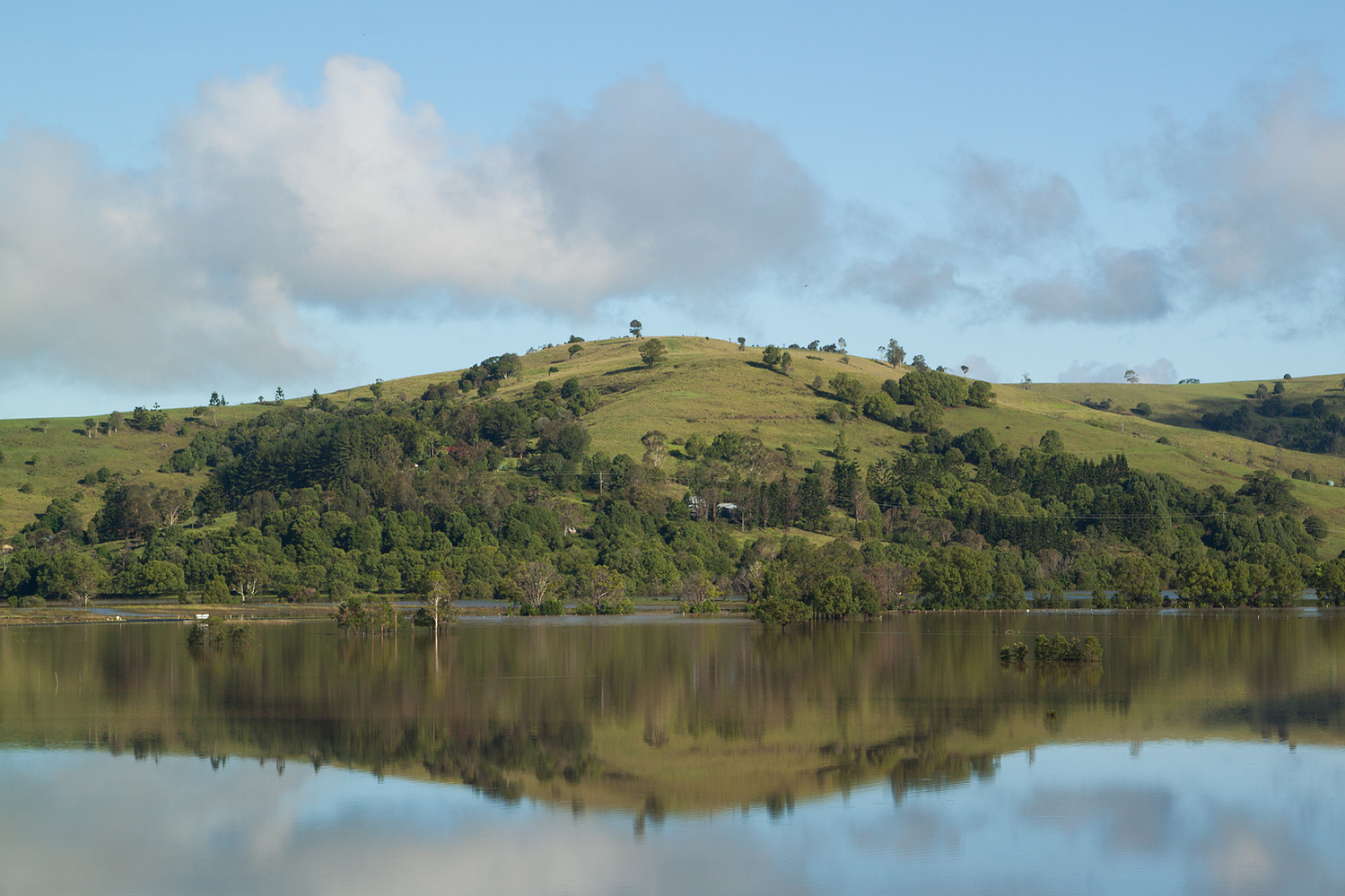
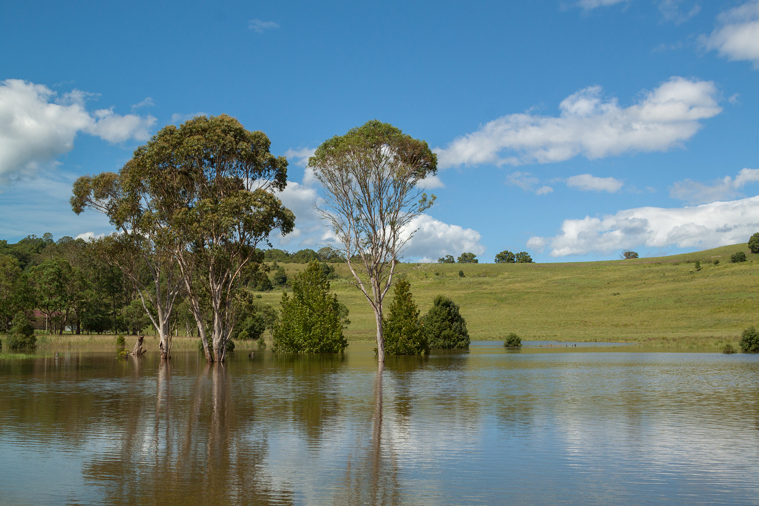
Corndale Lake